
175 KM
2
1-2
100 %
65 %
1750 M
0 %
951 M
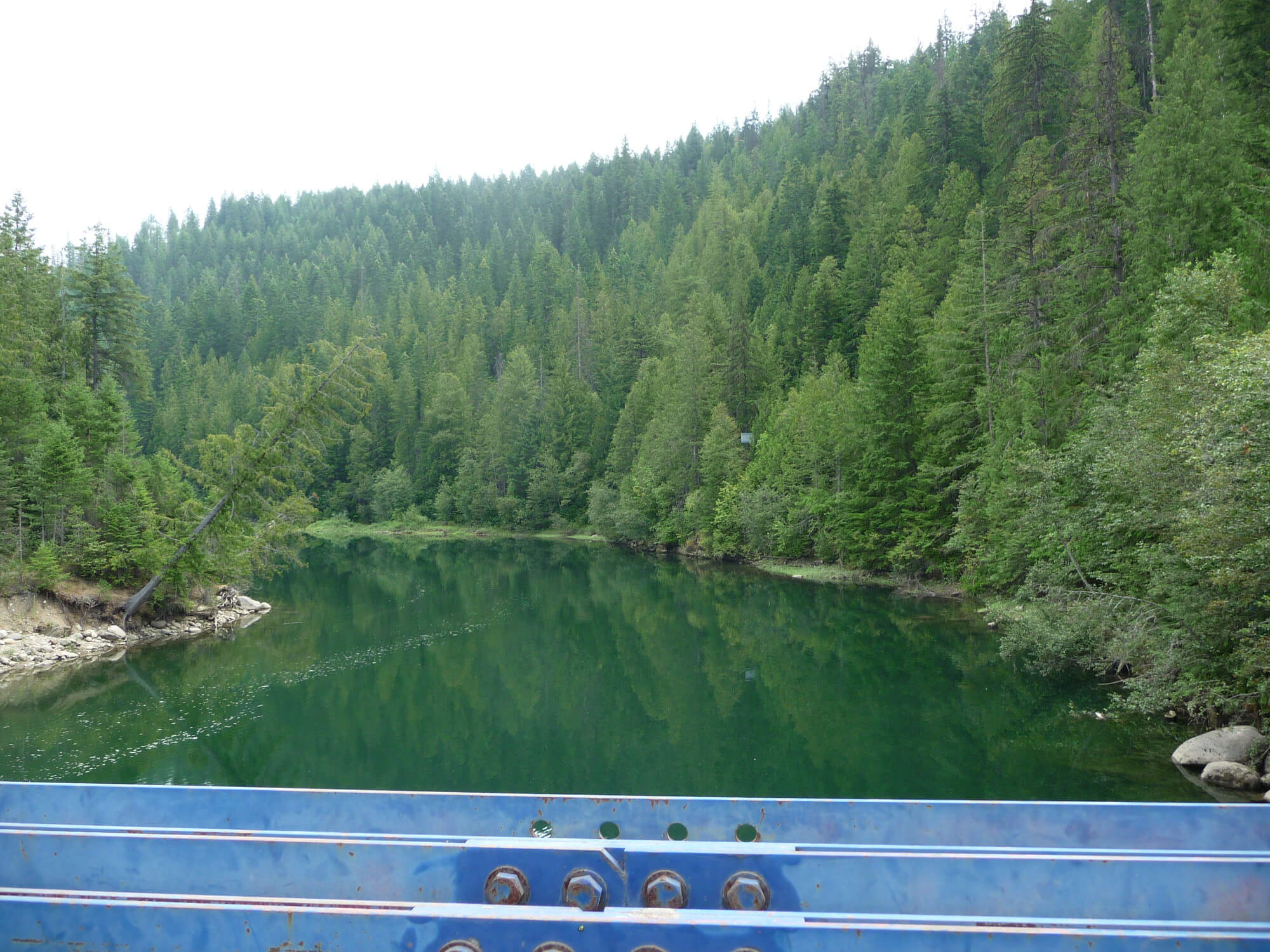
The Pend D’Oreille is a hidden gem paralleling the Canada/US border. The river is home to two hydro electric dams that can be seen from the gravel route.
The Low Down
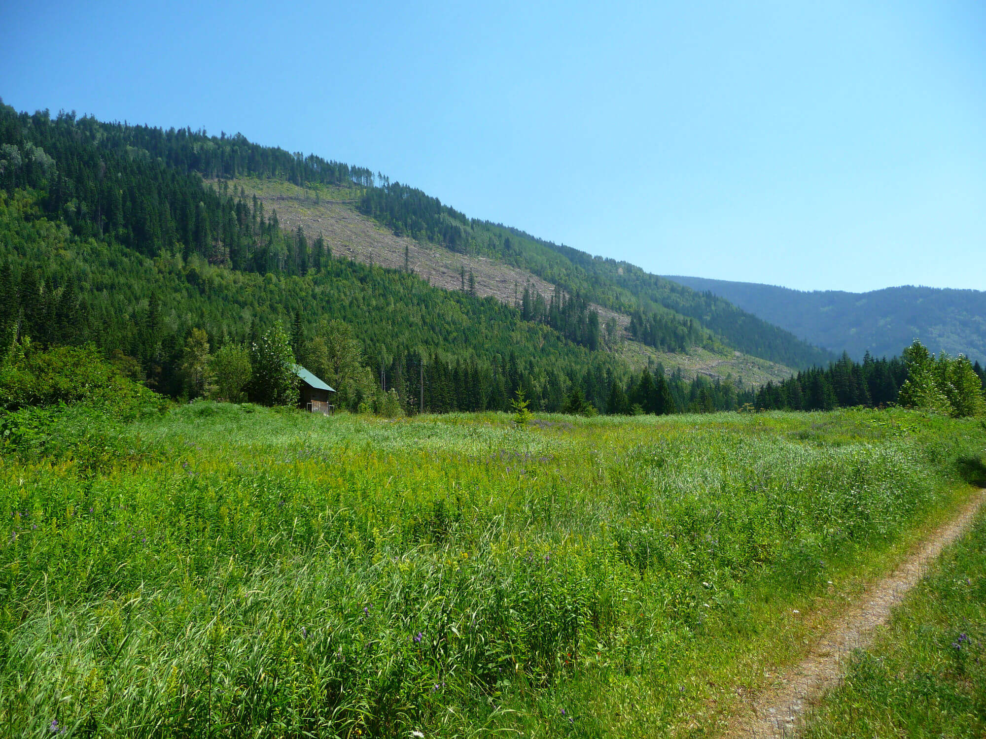
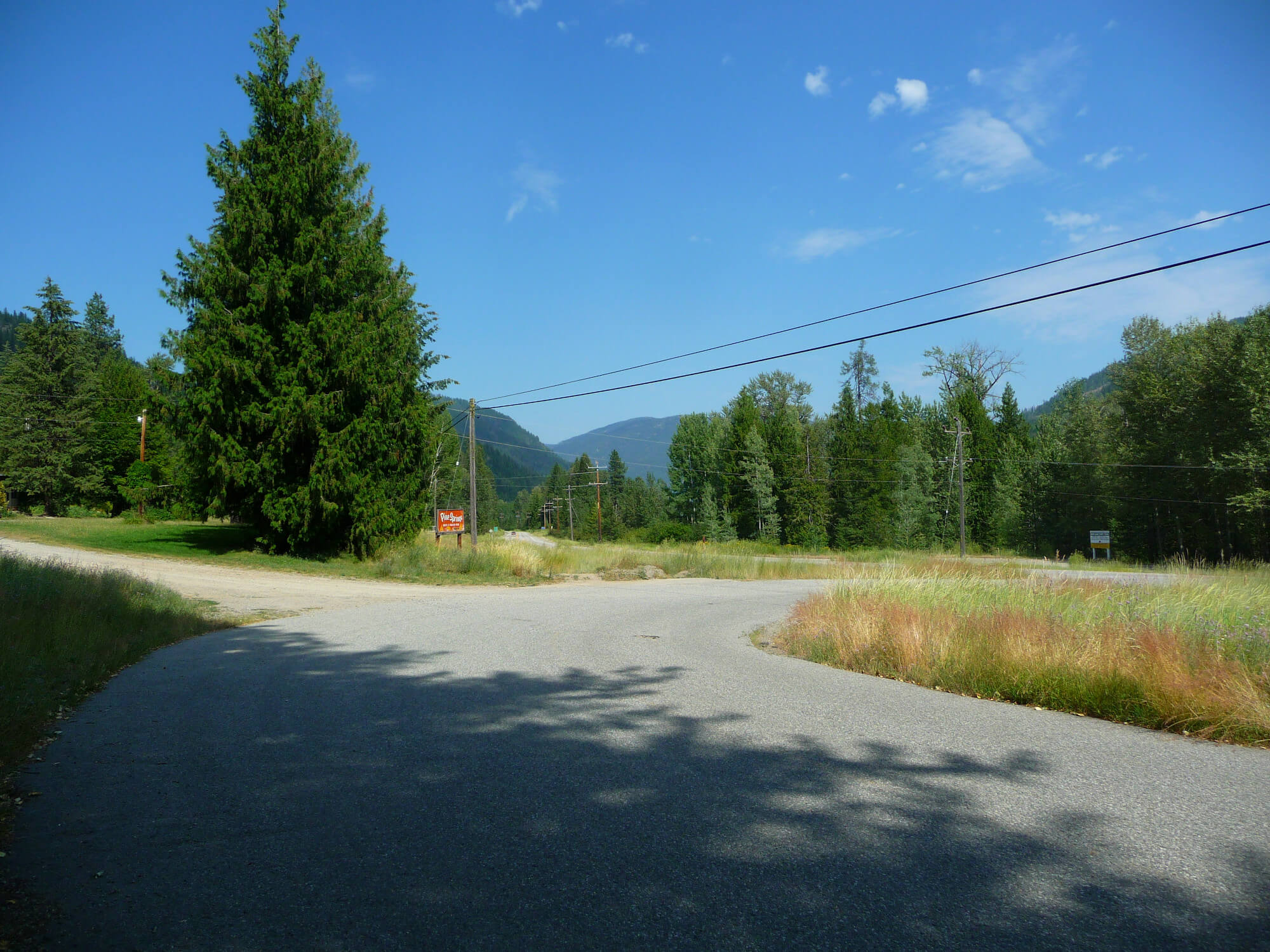
The first part of is route, The Great Northern Trail, is one of the main access points for many of the routes on this site that are closer to Nelson. As I write this I realize what an important trail it is to access other communities and trails without worrying about cars or traffic. One can only wonder the importance back in the day when it was actually a rail road.
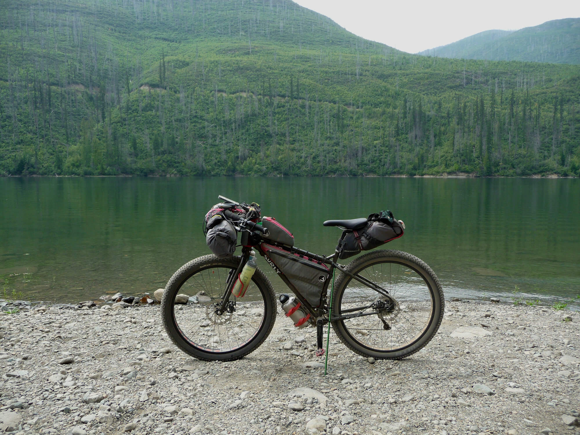
This route can be ridden in a day for strong cyclists. However if you’re just looking to escape the world for a night then making your way to Seven Mile Dam Road is perhaps exactly what you need; spotty cell service and very few people.
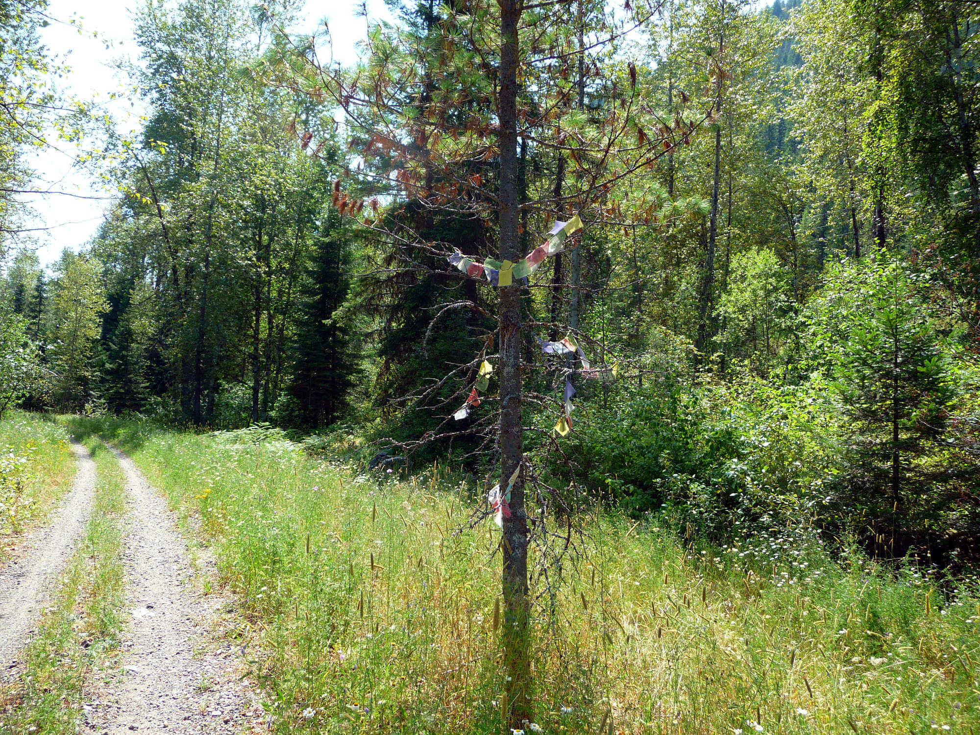
Although there are a few flat spots for wild camping along this stretch of gravel there are two designated spots to camp. One is the Pend D’Oreille Recreation Area (Buckley campground). This campground has 22 sites and everything you would would expect of a campground. It’s first come, first served.
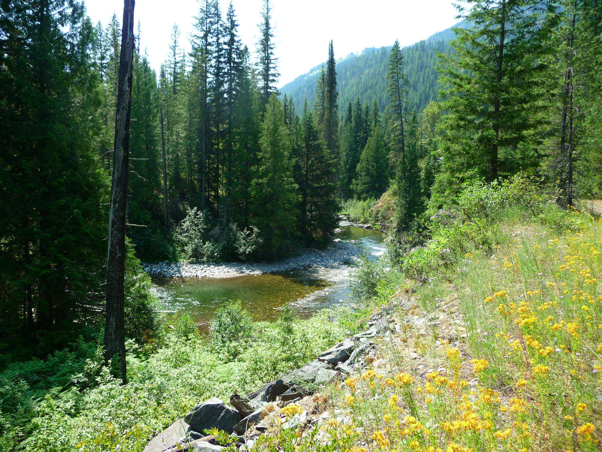
The second spot is further down the road and is more primitive. If you’re looking for a bit more quiet and privacy I would suggest this spot. Keep in mind it may be occupied and it only has a picnic table and fire pit with a great view. It is flat so tents work as do hammocks as there are plenty of trees. If using this more primitive site there is a boat launch a few hundred meters away to get to rivers edges for easy access to water.
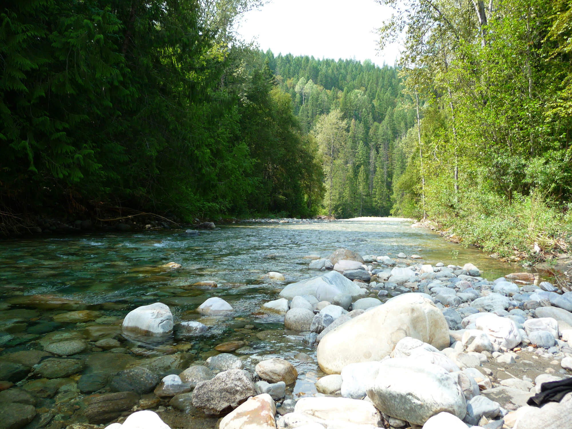
Alternately there are a few wild campsites at the mouth of the Salmo River. Theses sites tend to be used more frequently and you may find them occupied. They are great spots if you can snag one.
From the Salmo River there is a steady climb until reaching the border crossing at Nelway. If you don’t have your passport you have no choice but to take a left and head North back towards Nelson. The route along Hwy 6 and Hwy 3 is pretty straight forward from Nelway back to Salmo and then Nelson.
First Nations
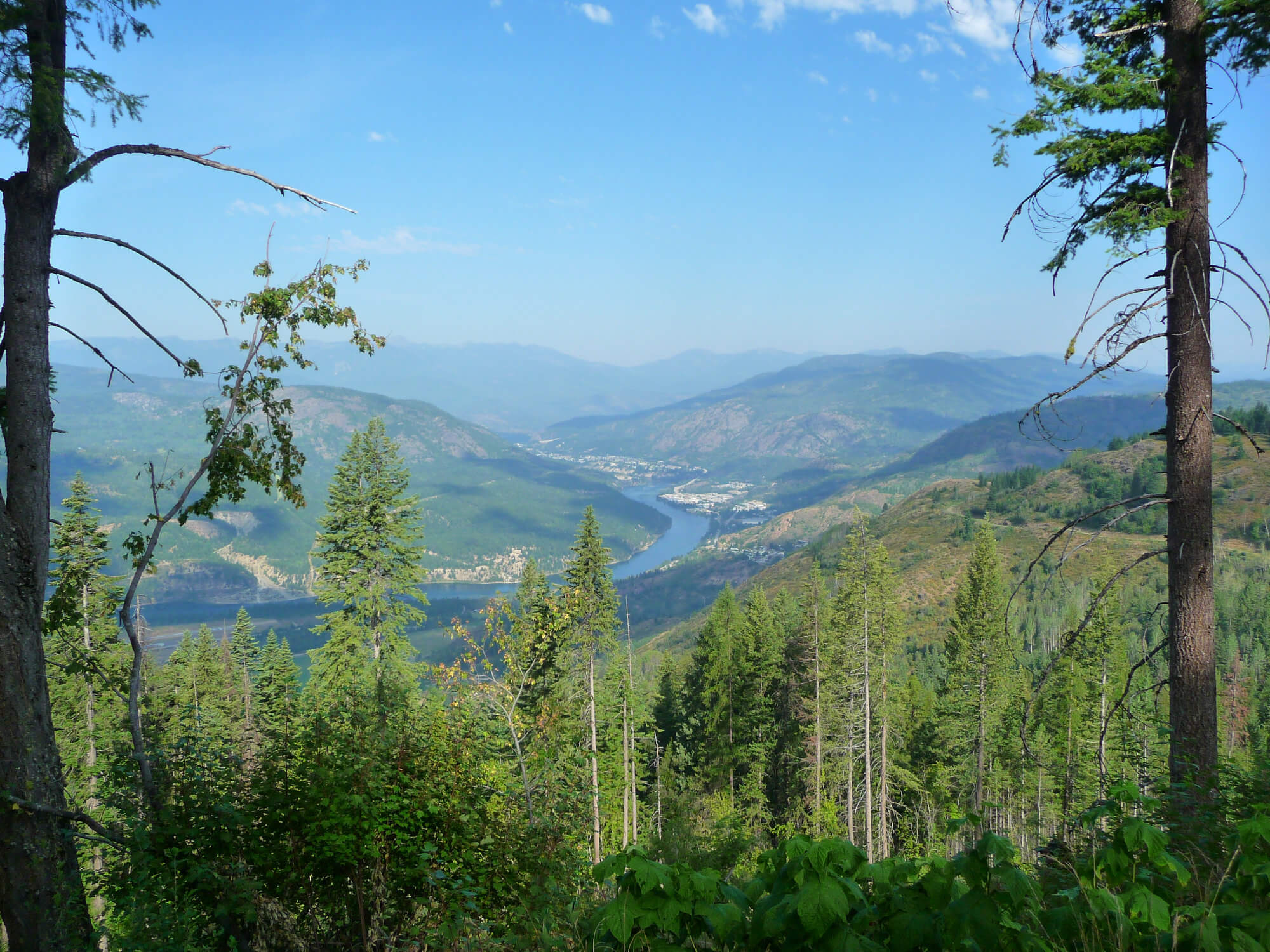
This area was historically used by the Kalispell and Salish people. Prior to damming the river one can see the significance of the waterways to the indigenous people of the area with the Salmo River flowing into the Pend D’Oreille and finally into the Columbia River meandering its way to the pacific. Once upon a time the salmon used to run in these waterways but our appetite for hydro electric power and flood control has destroyed this food source and a way of life we may never see again. Luckily the Kalispell and Salish tribes keep their culture alive and still use these waterways and land for traditional purposes.
Photo Gallery


Map and GPX
- Camping on the Pend D’Oreille
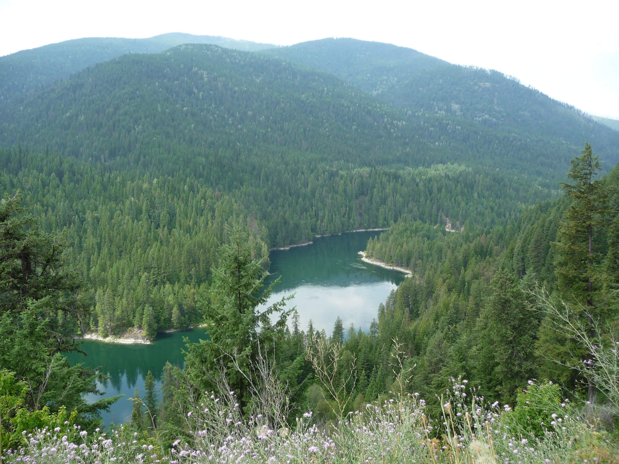
- Seven Mile Dam Viewpoint
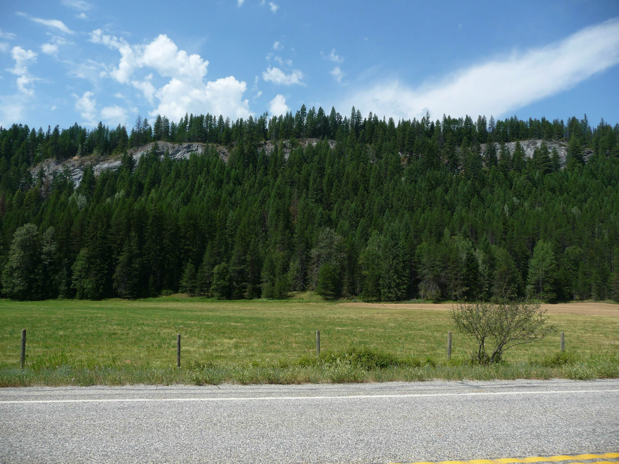
- The lack of vehicles for the majority of this gravel section
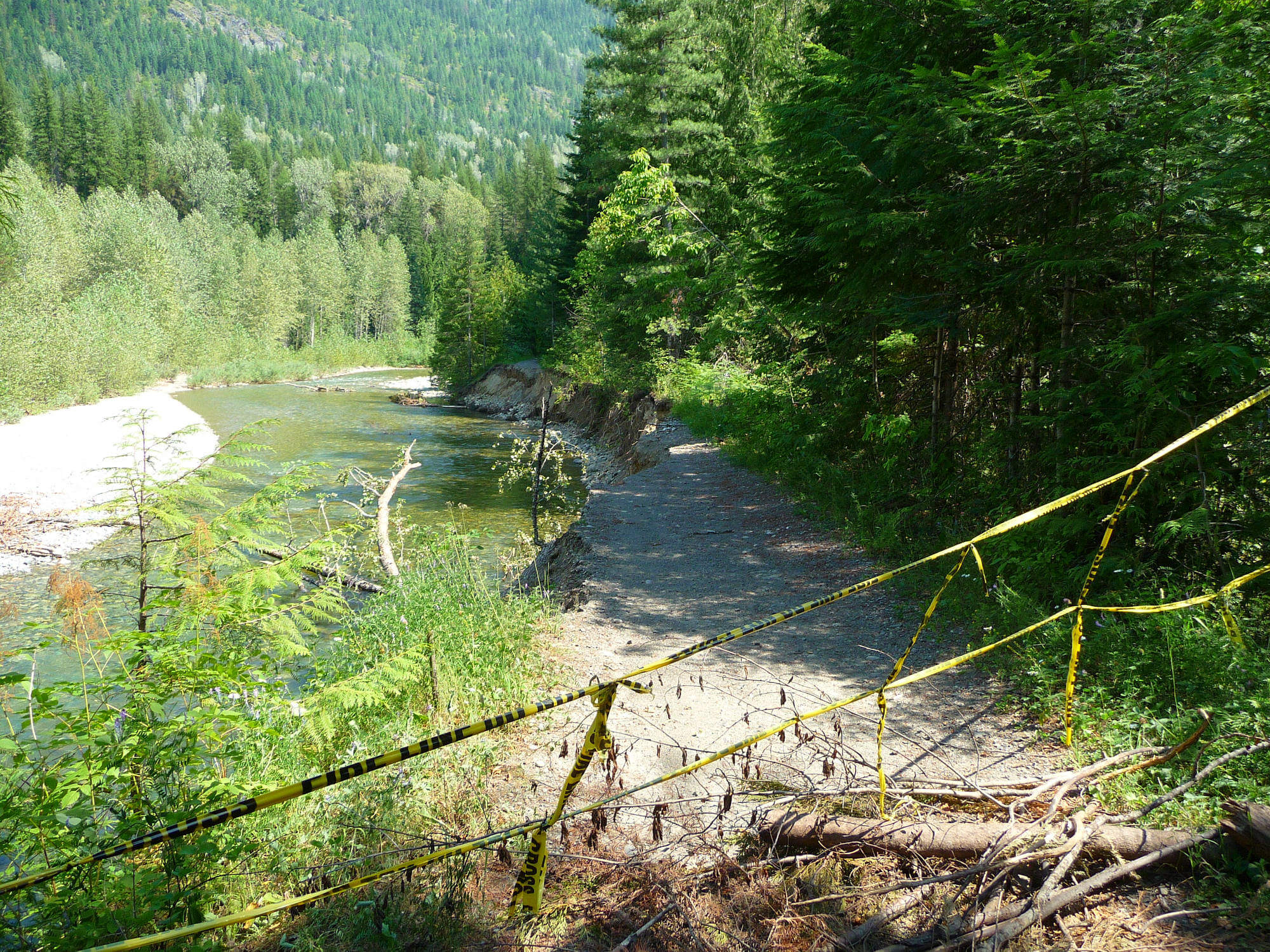
- Although the route does run along the Pend D’Oreille the access to the water is not easy in many spots. Take advantage of any easy access to water if running low as it does get hot in this region during the summer months.
- Lots of potential for wild camping. Use the sites suggested on the map or get adventurous.
- Pend D’Oreille Recreation Area (Buckley Campground)
- After leaving Fruitvale there are no services until looping back to Salmo for food. Ensure you have sufficient supplies before making your way to Seven Mile Dam Road.
- Water is plentiful but can be difficult to access along the steep banks of the Pend D’Oreille.
- This route is a good beginner route. It could technically be broken up into 3 days or more for those who are just trying out bikepacking and adventuring in general. There is the Marsh Creek Campground just outside of Fruitvale and Salmo has a community campground. There is also Champion Lakes Provincial Park. If anyone wanted to make this route into a longer adventure it is easy to do and this is not an extensive list of the campgrounds along this route.
Terms of Use: As with each bikepacking route guide published on ROADSAREFORWIMPS.com, should you choose to cycle this route, do so at your own risk. Prior to setting out check current local weather, conditions, and land/road closures. While riding, obey all public and private land use restrictions and rules, carry proper safety and navigational equipment, and of course, follow the #leavenotrace guidelines. The information found herein is simply a planning resource to be used as a point of inspiration in conjunction with your own due-diligence. In spite of the fact that this route, associated GPS track (GPX and maps), and all route guidelines were prepared under diligent research by the specified contributor and/or contributors, the accuracy of such and judgement of the author is not guaranteed. ROADSAREFORWIMPS.com, its partners, associates, and contributors are in no way liable for personal injury, damage to personal property, or any other such situation that might happen to individual riders cycling or following this route.